Datasheets
BathyCopter Infosheet (PDF – 1.72MB)
BDF-1 Datasheet (PDF – 2.15MB)
DR1560 Datasheet (PDF – 309KB)
miniVUX-1UAV Datasheet (PDF – 3.57MB)
miniVUX-1UAV Infosheet (PDF – 5.08MB)
RiACQUIRE Datasheet (PDF – 487KB)
RiHYDRO Datasheet (PDF – 241KB)
RiMTA ALS Datasheet (PDF – 336KB)
RiPROCESS Datasheet (PDF – 520KB)
RiWAVELib Datasheet (PDF – 615KB)
RiWORLD Datasheet (PDF – 374KB)
VQ-820-G Datasheet (PDF – 669KB)
VQ-880-G Datasheet (PDF – 439KB)
VQ-880-G Infosheet (PDF – 1.01MB)
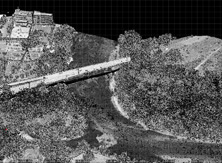
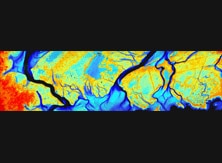
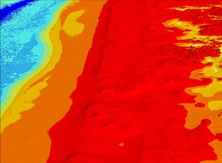
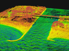
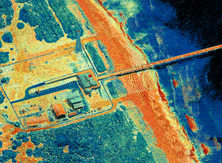
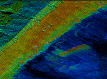
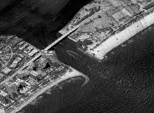
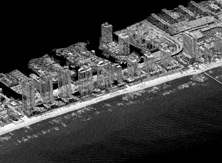
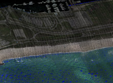
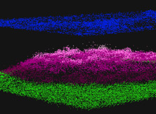
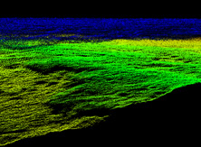
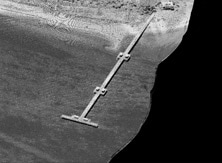
Bathymetric LiDAR is one of the most effective and cost-efficient technologies to capture both land and seafloor simultaneously to provide a detailed and continuous 3D elevation model along the coastline. RIEGL LiDAR excels in near shore bathymetry, producing topographic-type results in near shore environments.
Bathymetric systems allow the capture of accurate data for coastline and shallow water mapping, acquiring base data for flood prevention, habitat mapping, measurement of aggradation zones, surveying for hydraulic engineering, hydro-archaeological surveying, generation of profiles of inland water bodies (rivers, lakes, channels), repeated survey of water reservoirs, canal surveying, landscaping, surveys for planning and hydraulic engineering work.
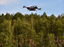
Bathymetric systems offered by RIEGL include the VQ-880-G and VQ-820-G topo-hydrographic airborne laser scanners and the BathyCopter sUAV-based surveying system, equipped with the BDF-1 bathymetric profiler. These systems enable users to capture the most accurate data while reducing their costs and time in the field.


