White Papers and Datasheets
LiDAR and CIM White Paper (PDF – 779KB)
RiACQUIRE Datasheet (PDF – 686KB)
RiDB Datasheet (PDF – 408KB)
RiMTA Datasheet (PDF – 1.04MB)
RiPRECISION MLS Datasheet (PDF – 2.55MB)
RiPROCESS Datasheet (PDF – 901KB)
RiSCAN PRO Datasheet (PDF – 521KB)
RiVLib Datasheet (PDF – 117KB)
RiWORLD Datasheet (PDF – 374KB)
VMQ-1HA Datasheet (PDF – 1.60MB)
VMX-1HA Datasheet (PDF – 1.18MB)
VUX-1HA Datasheet (PDF – 1.11MB)
VZ-400i Datasheet (PDF – 2.50MB)
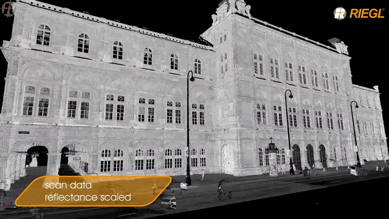
VZ-400i in Vienna Project (PDF – 1.71MB)
VZ-400i Infosheet (PDF – 13.9MB)
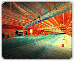
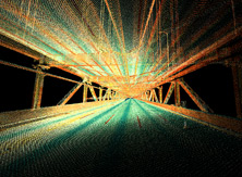
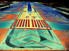
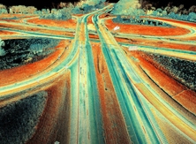
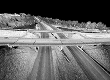
The use of LiDAR, whether it be static or mobile LiDAR, for the transportation and infrastructure industries offers the promise of transforming the way in which these industries plan, design, construct, and maintain their networks. LiDAR for these industries is an important 3D measurement technology that can rapidly acquire a substantial amount of highly detailed, geospatial information.
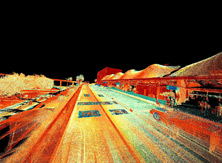
RIEGL provides highly effective LiDAR solutions for rapid data collection that help increase safety and efficiency. The data collected can be used for estimates, adjusted for final survey grade quality, and can also can be extracted from third party modeling software’s. These LiDAR data collection systems include the VMX-1HA high speed and high performance dual scanner mobile mapping system, the VMQ-1HA high speed single scanner mobile mapping system, and the VZ-400i ultra high performance 3D static laser scanner.
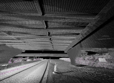
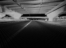
They provide survey grade accuracy, reduced acquisition time, quick turnaround time for deliverables, increased cost savings, increased productivity both in and out of the field, and increased safety over traditional surveying techniques. The mobile LiDAR systems can also acquire highly accurate and dense 3D information by safely driving a collection vehicle at highway speeds.
Applications that RIEGL LiDAR systems can be used for include ride quality management, safety, operations, maintenance, construction, project planning, project development, research, asset management, infrastructure analysis and inventory, pavement analysis, urban modeling, and many more.


